Photo: Mauritius National Crisis Committee
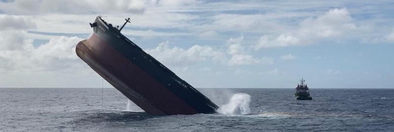
The government of Mauritius announced last Monday that “the planned sinking of the stem (forward) section of the [bulk carrier Wakashio] has been completed and at around 3.30pm was no longer visible on the sea surface. While some sources referred to the location of the scuttling as a “mystery” in that no coordinates were provided in the government press release, video clips of the sinking gave the location as 20°22’57.183″S, 58°01’07.415″E, or roughly 14 nautical miles off the Mauritius coast in deep water.
The Capesize bulk carrier Wakashio, while traveling in ballast, ran aground on a reef on the island of Mauritius on July 25. After 13 days on the reef, she began leaking fuel oil from her tanks. In total, the ship is believed to have leaked 1,000 tonnes of heavy oil into the pristine waters off Pointe d’Esny, near the marine park of Blue Bay. The ship broke in two on August 15, breaking one hatch forward of the deckhouse.
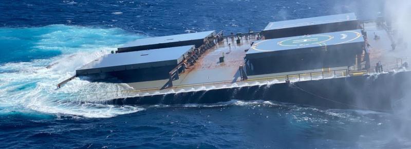
The bow of the ship was taken under tow and moved away from the reef to a location in deep water where the it was scuttled. The stern of the ship, including the deckhouse, remains lodged on the reef.

Photo: Mauritius National Crisis Committee

Photo: Mauritius National Crisis Committee

When found again in a couple of hundred years time they are going to wonder what happened to the back end 🙂
It’s always sad to see a ship or boat go down.
How Mauritius is cleaning up after major oil spill in biodiversity hotspot
The spill released a new type of low-sulfur fuel, and its ecological effects aren’t well studied, says environment advocate Jaqueline Sauzier.
See – https://www.nature.com/articles/d41586-020-02446-7